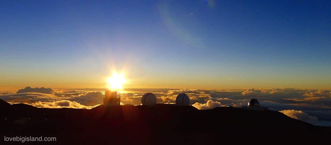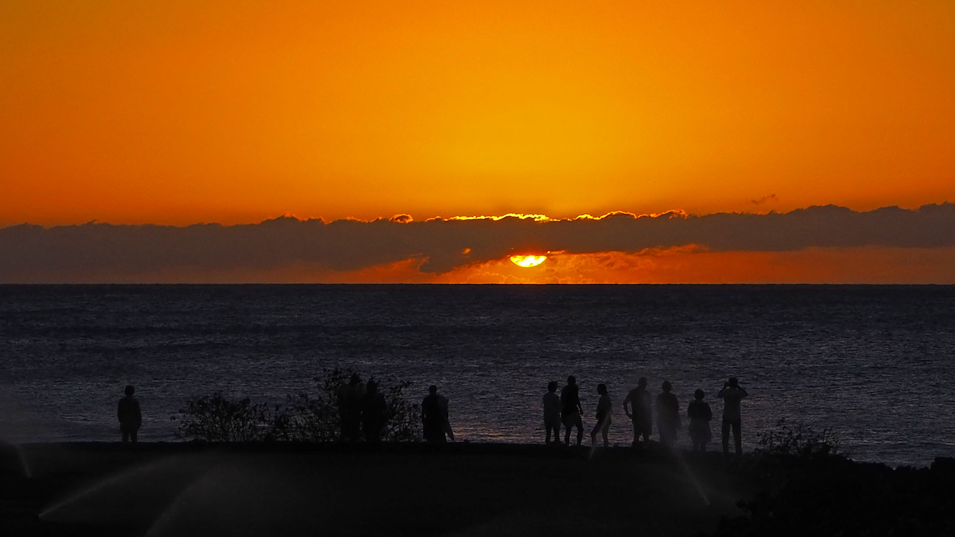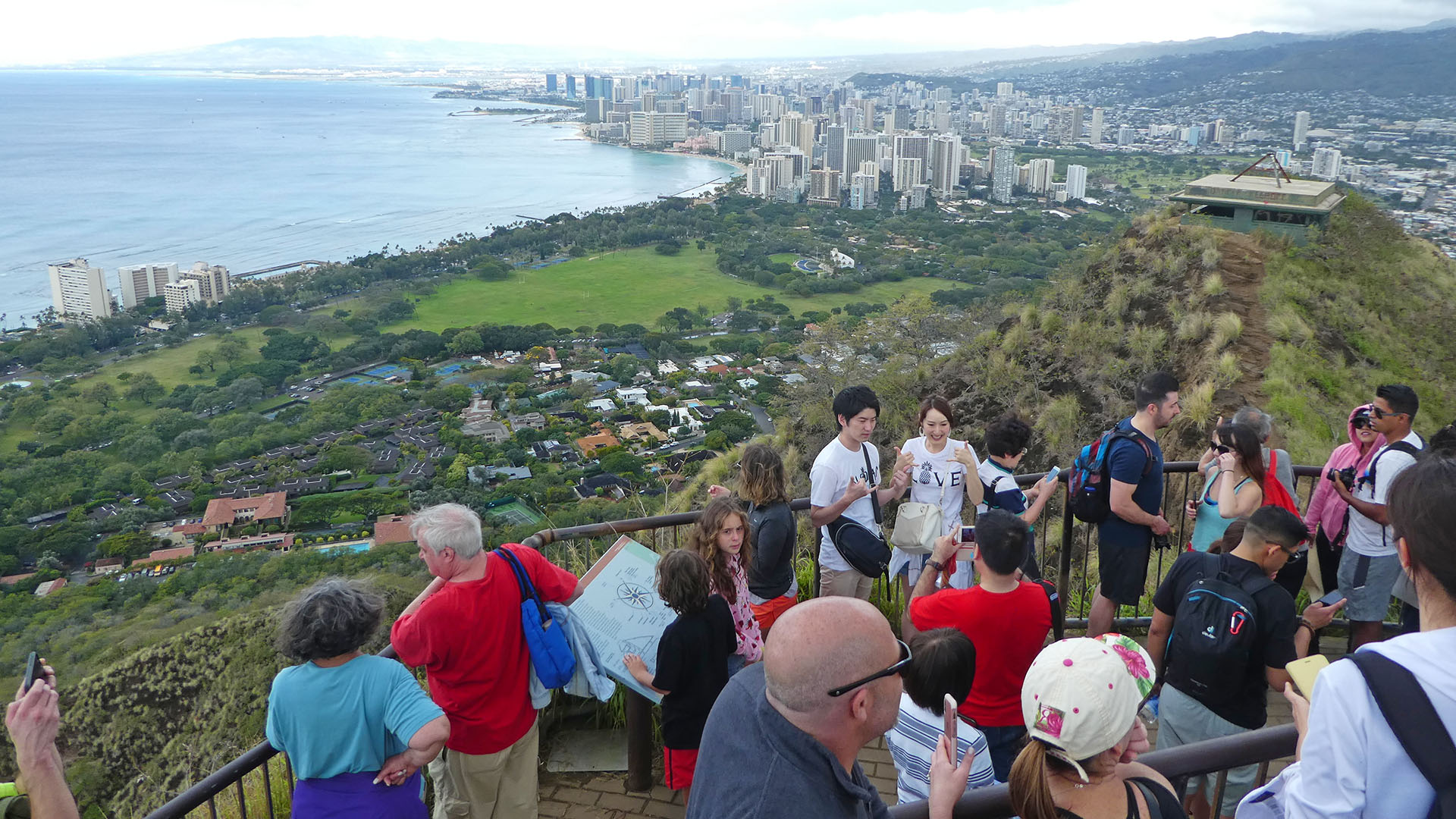
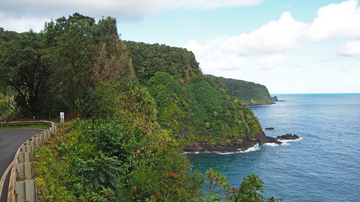
Every guidebook on Hawaii lists the Road to Hana as a must-do on Maui. Usually, they also warn you not to start driving late, so we set our alarms to 6 a.m. Still, we were not the first ones on Hwy 336, which makes things a bit… hectic. The road’s purpose was to connect smaller towns around the island and not to achieve a touristic target. This means: many one-way bridges, hardly stopping / parking possibilities at the points of interest and sometimes dangerous traffic situations. Also, some spots are difficult to catch, even with google maps app running, or they are on private property and are now closed for public.
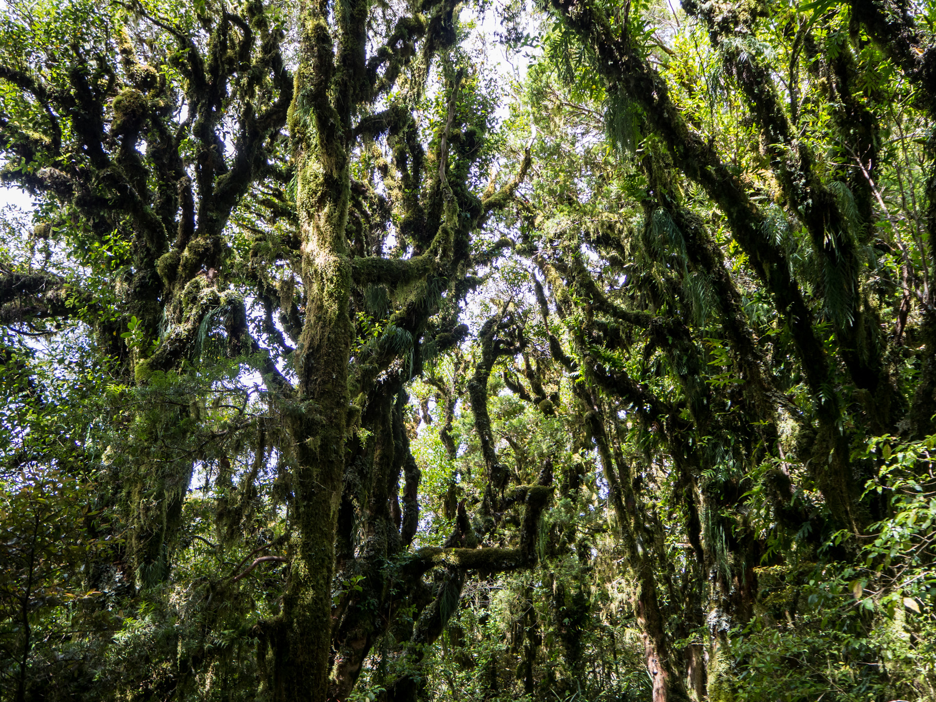
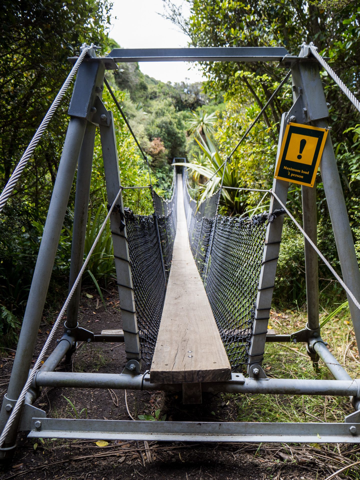
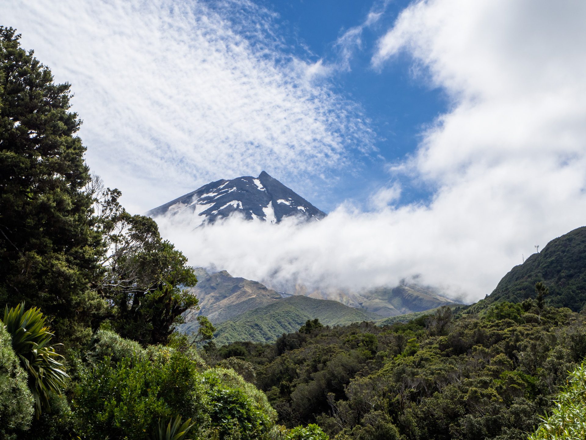
Nevertheless, it was still a joyful ride to Hana and beyond. Waterfalls, rainforest, beaches, lava tubes and valley overlooks – it was worth the time, even though we didn’t even get out of the car in Hana as we gave up finding a convenient parking space.
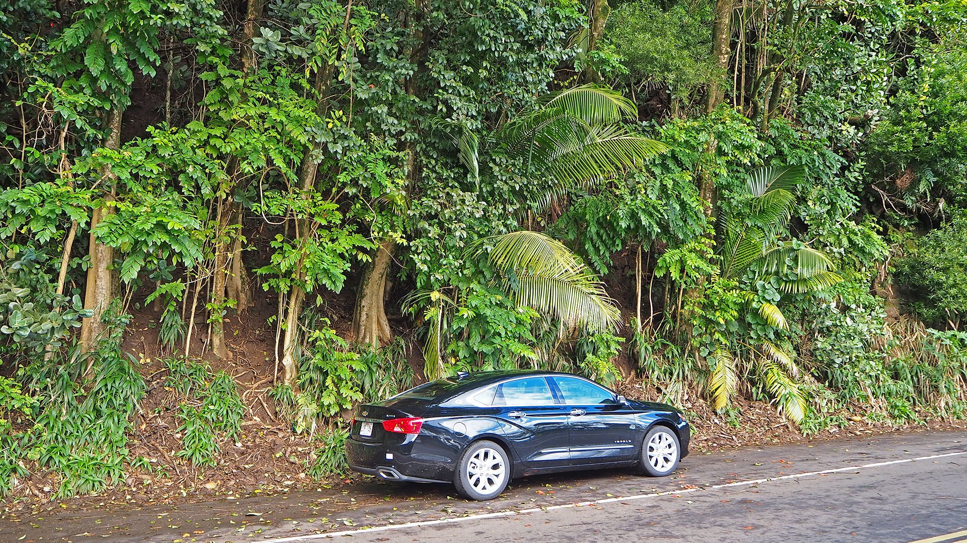
How to park 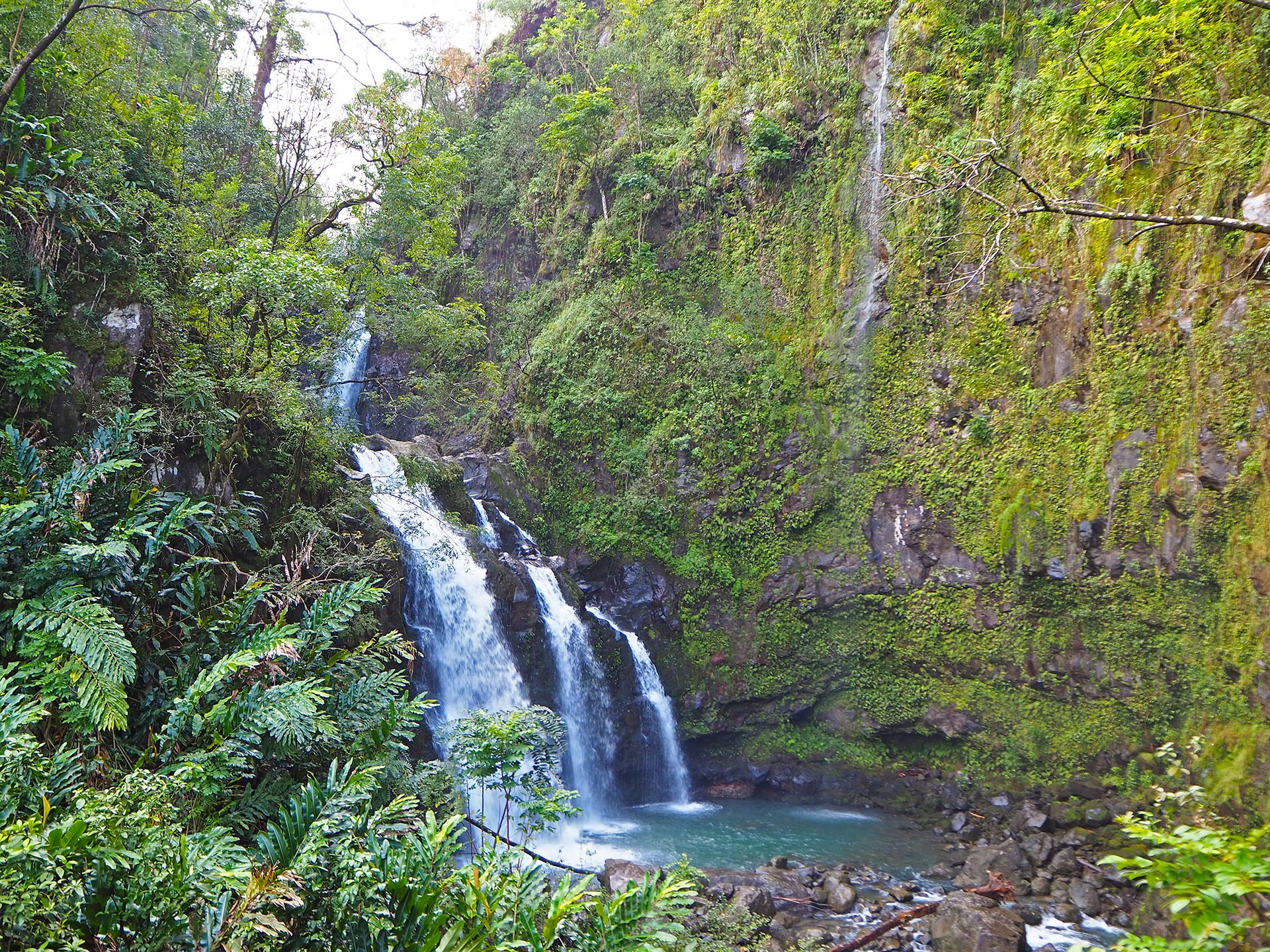
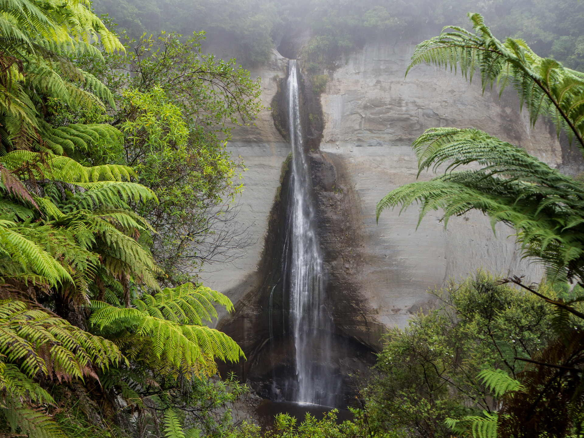
Waterfalls 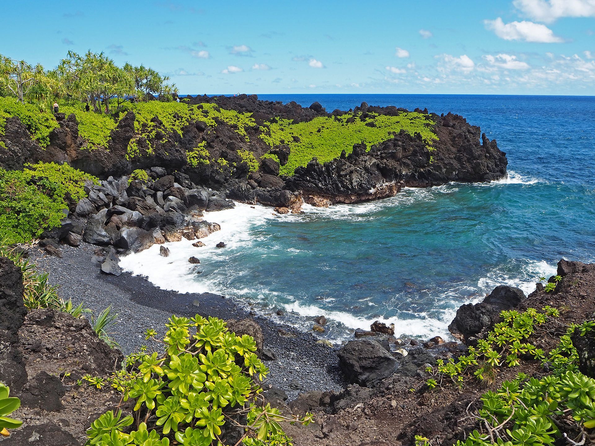
Black Sand Beach 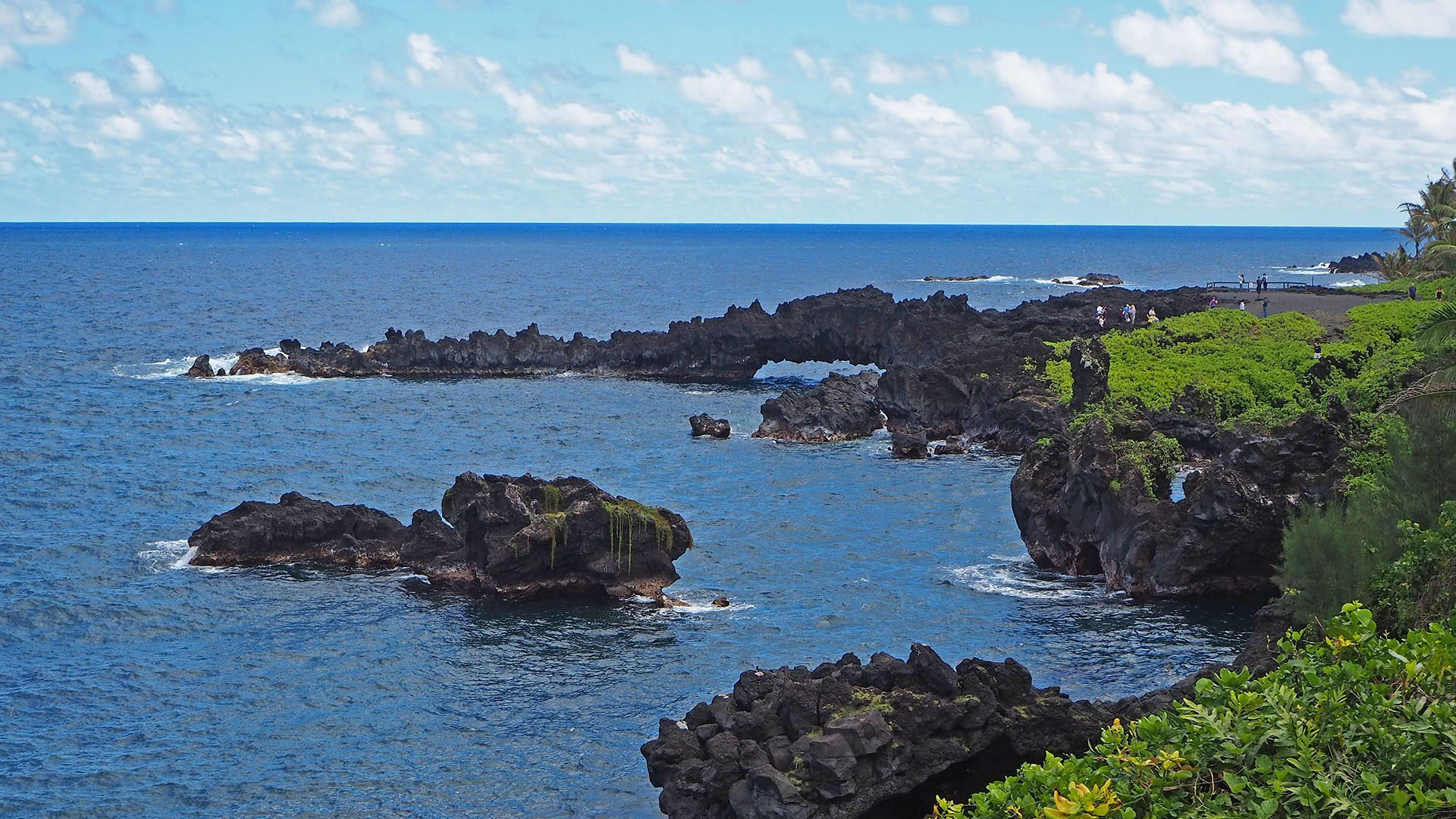
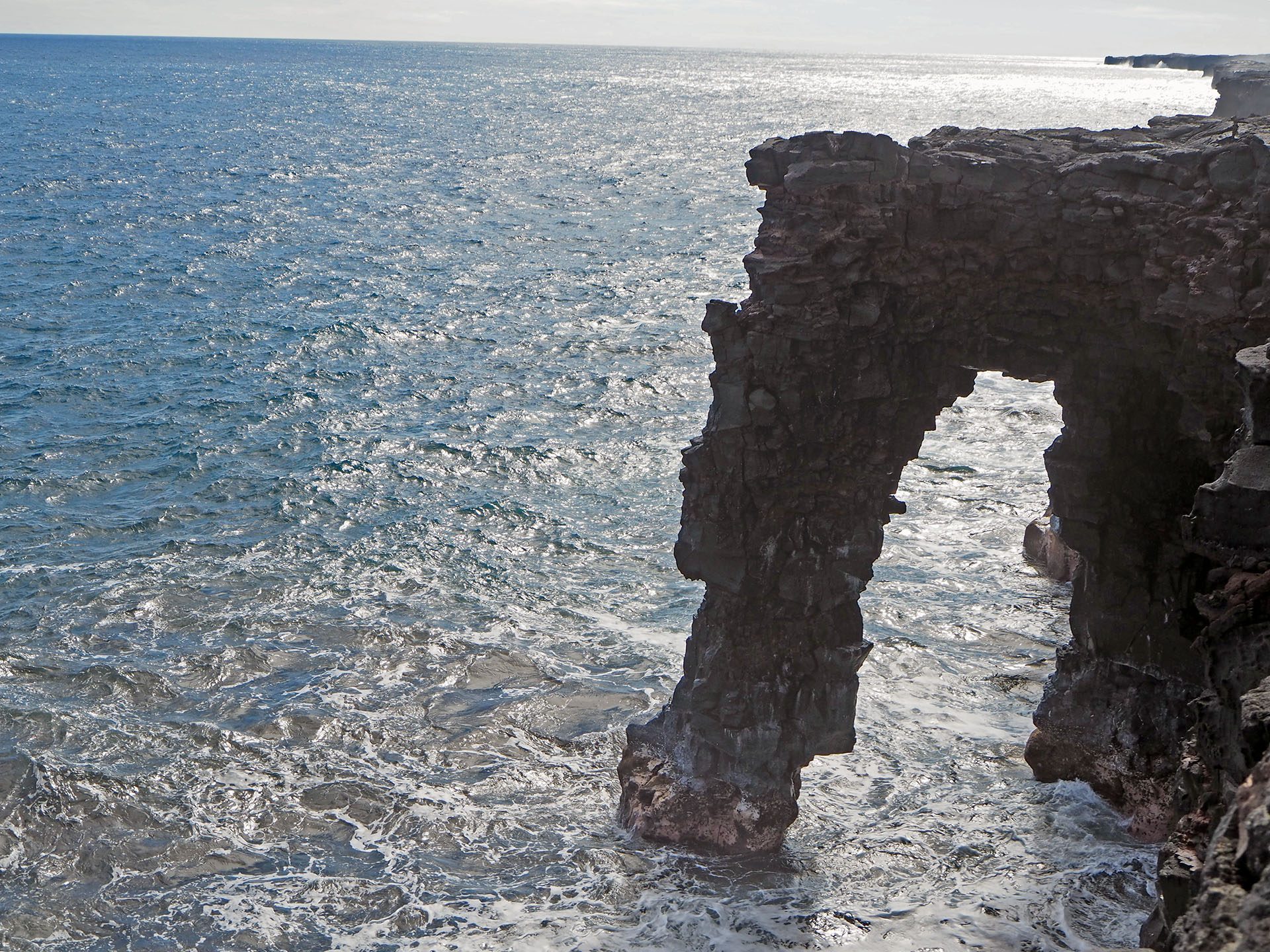
Sea arch 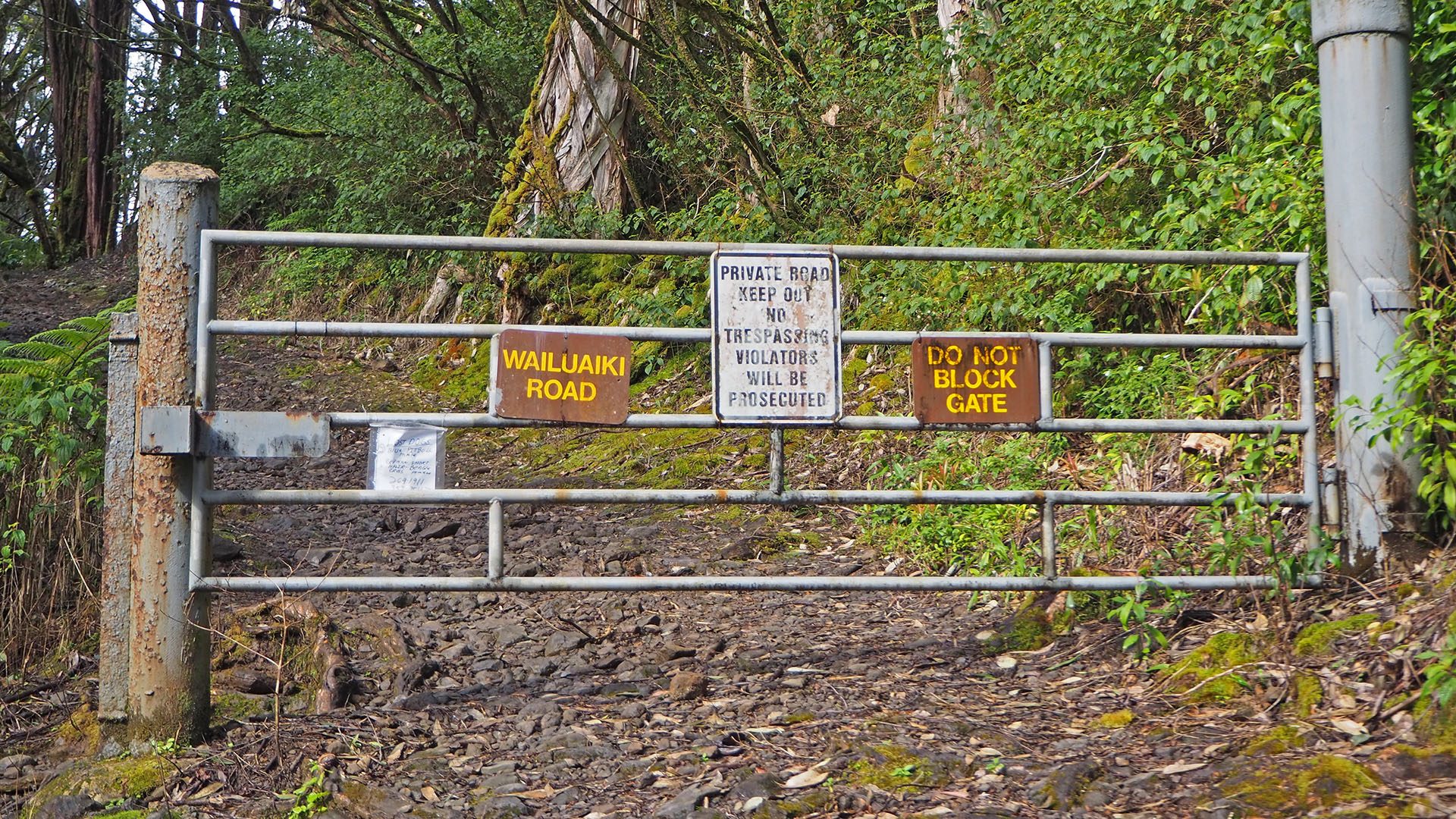
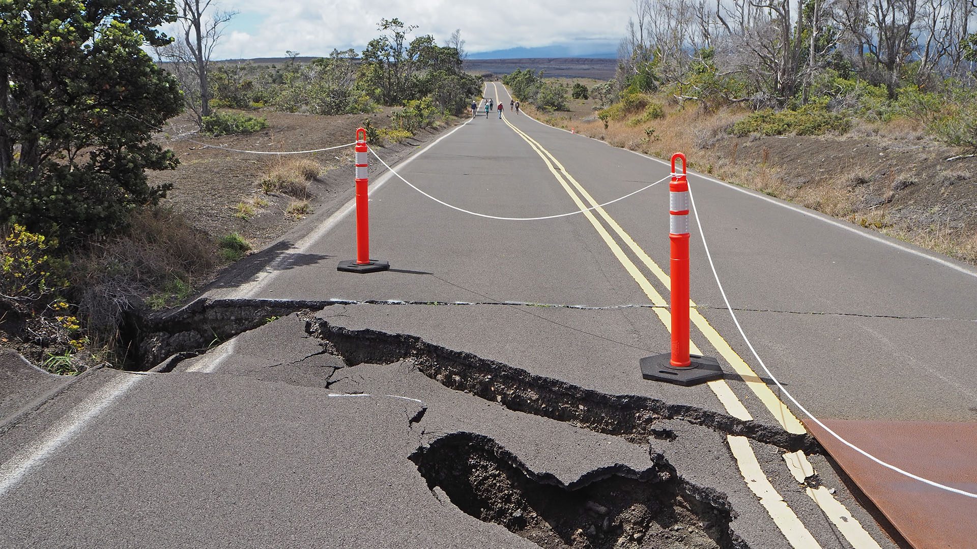
Stay out! 
Road to Hana 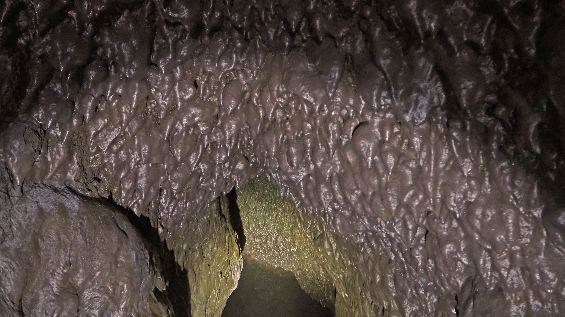
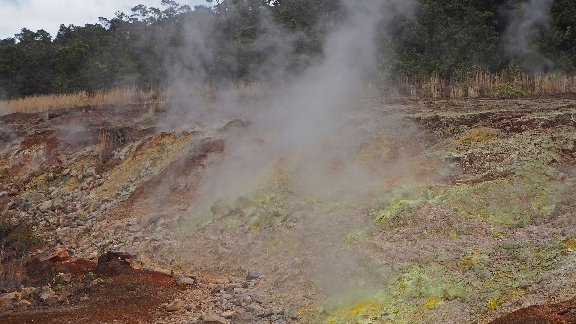
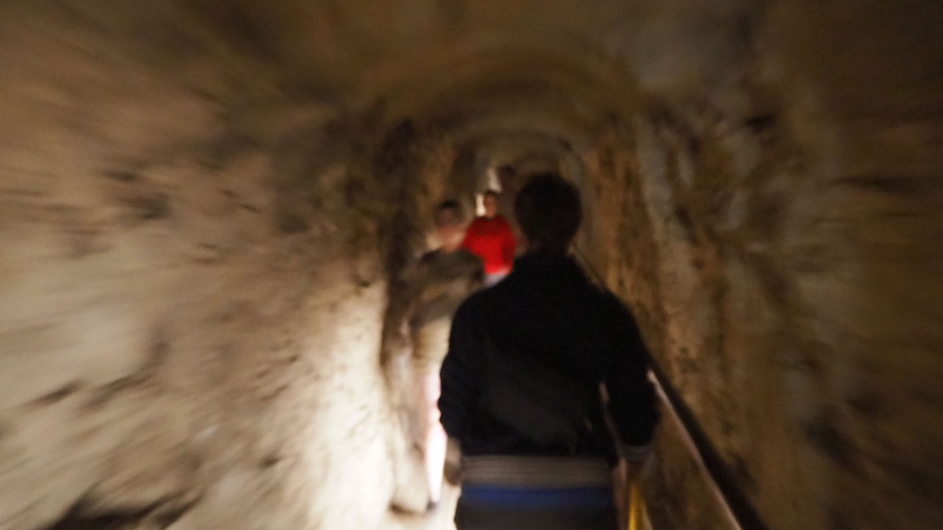
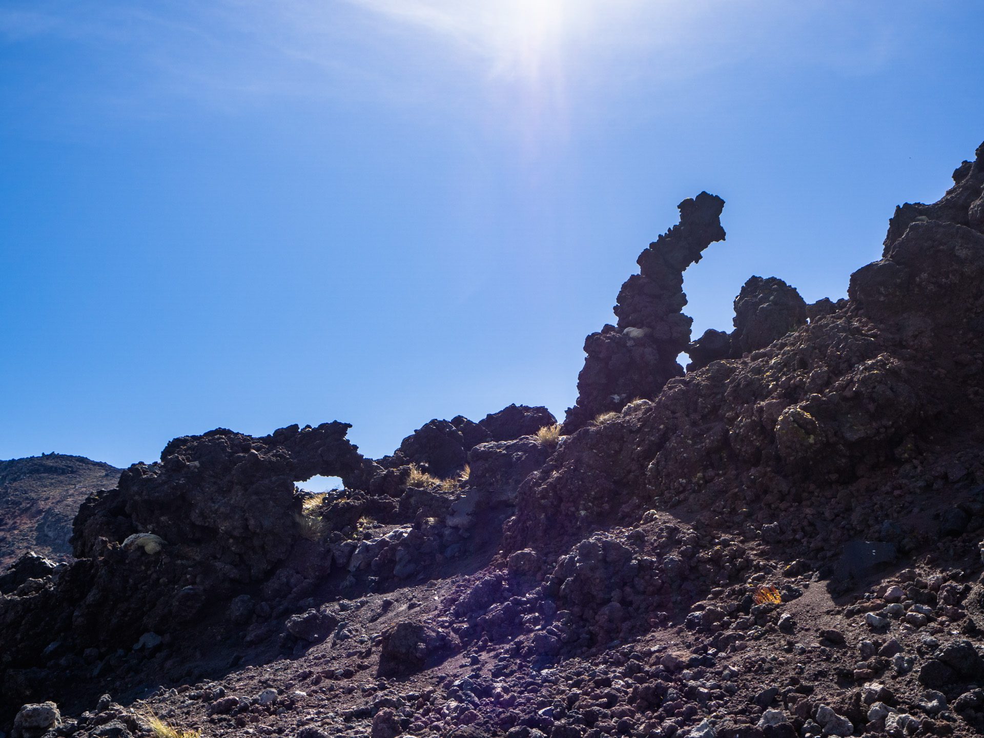
Lava stalactites 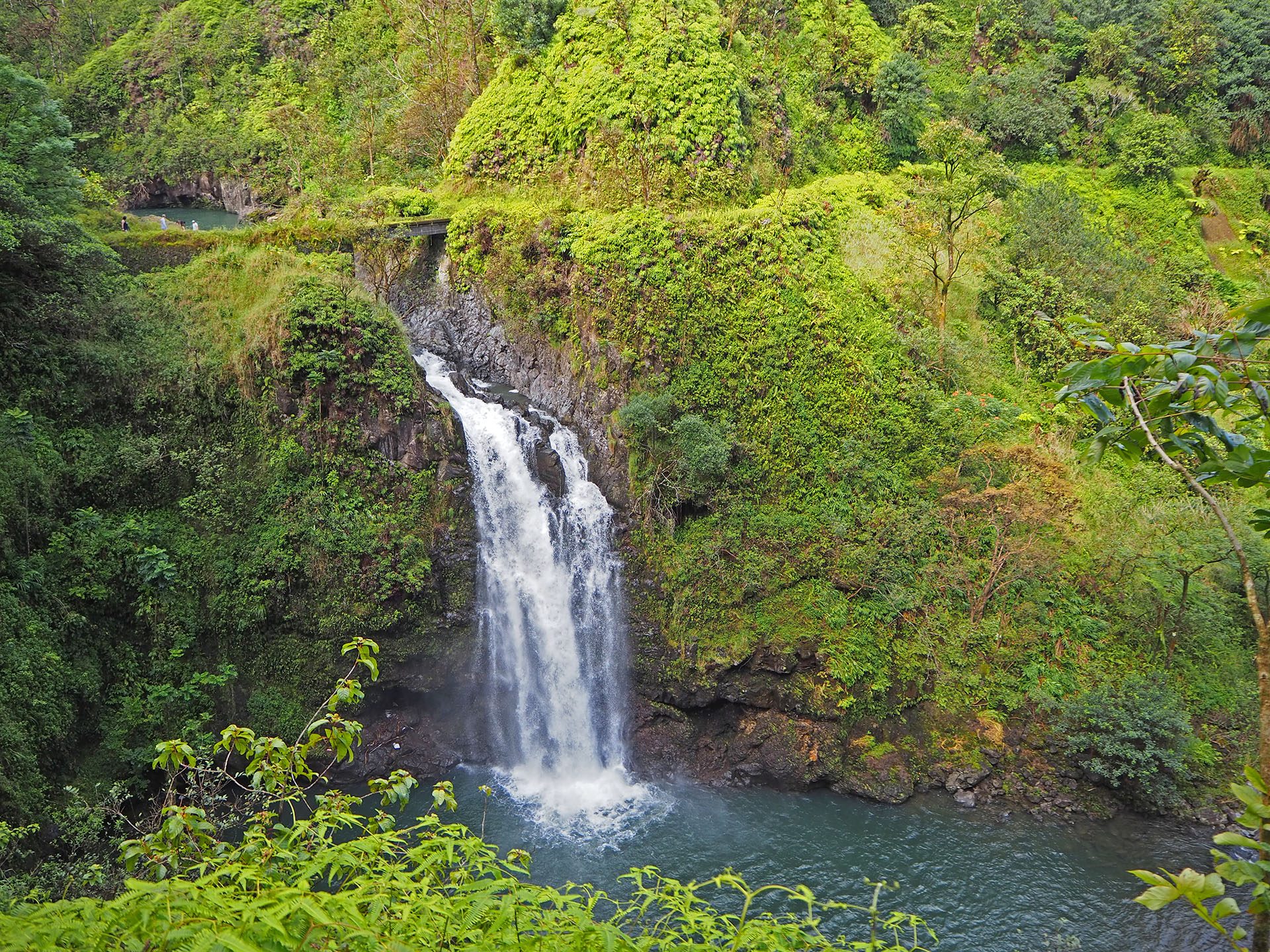
Waterfalls