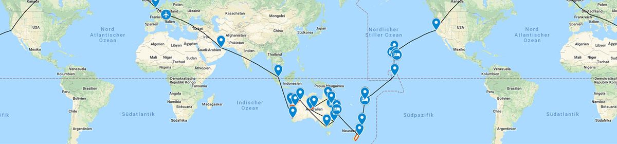
We just did a short morning hike (2h) to the Taranaki Falls before heading to Waitomo.
Taranaki Falls
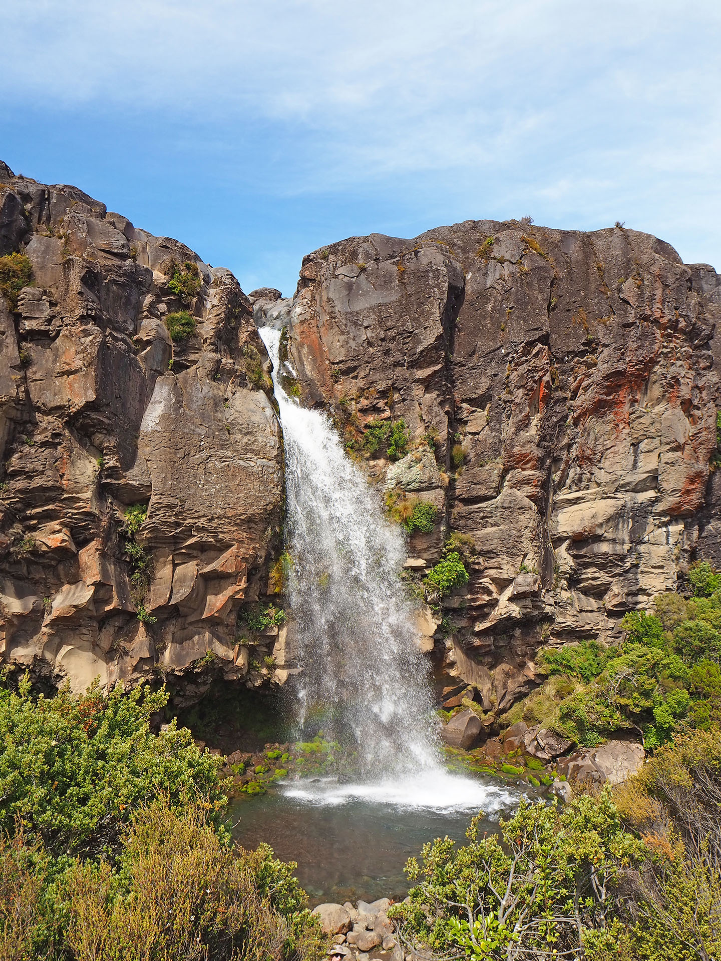
It was a hot day (30°C) and we waited on the campground for an evening adventure. On the Ruakuri Walk you can also see glowworms after sunset. Yep, we spotted them – it was like walking in a fairytale forest. And it was for free! 🙂
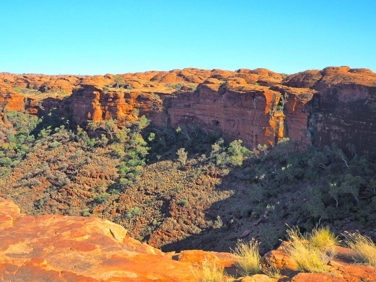
We could sleep 10 minutes longer than the day before and got up at 4 A.M. The good reason for it is to start the hike in Kings Canyon before it gets too hot – temperatures easily reach 45° C during the day.
How’s going, mates?
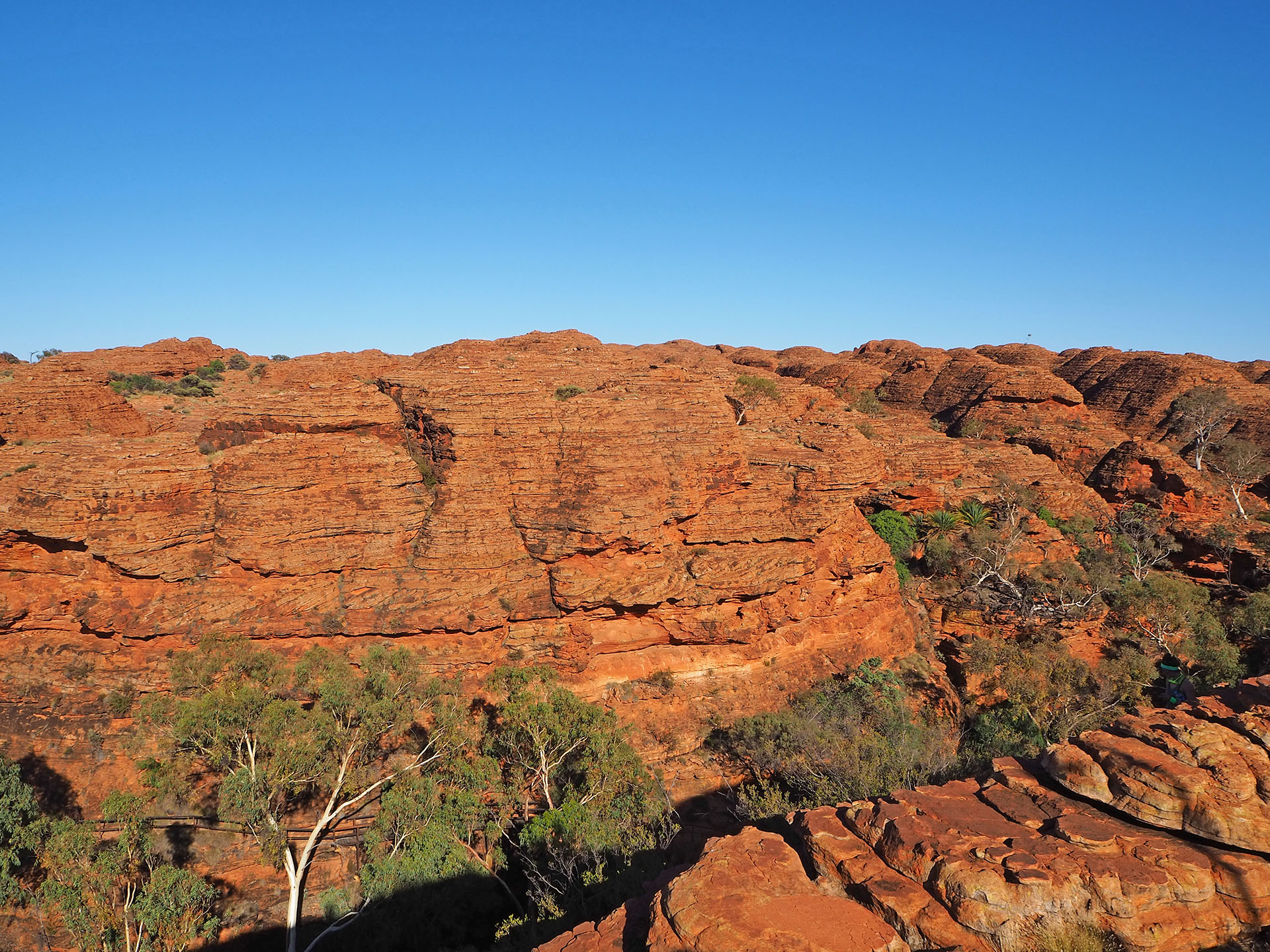
Again, a wonderful and informative hike upon “Mount Heart Attack” and “Garden Eden” before driving (partially on unsealed roads) to Alice Springs.
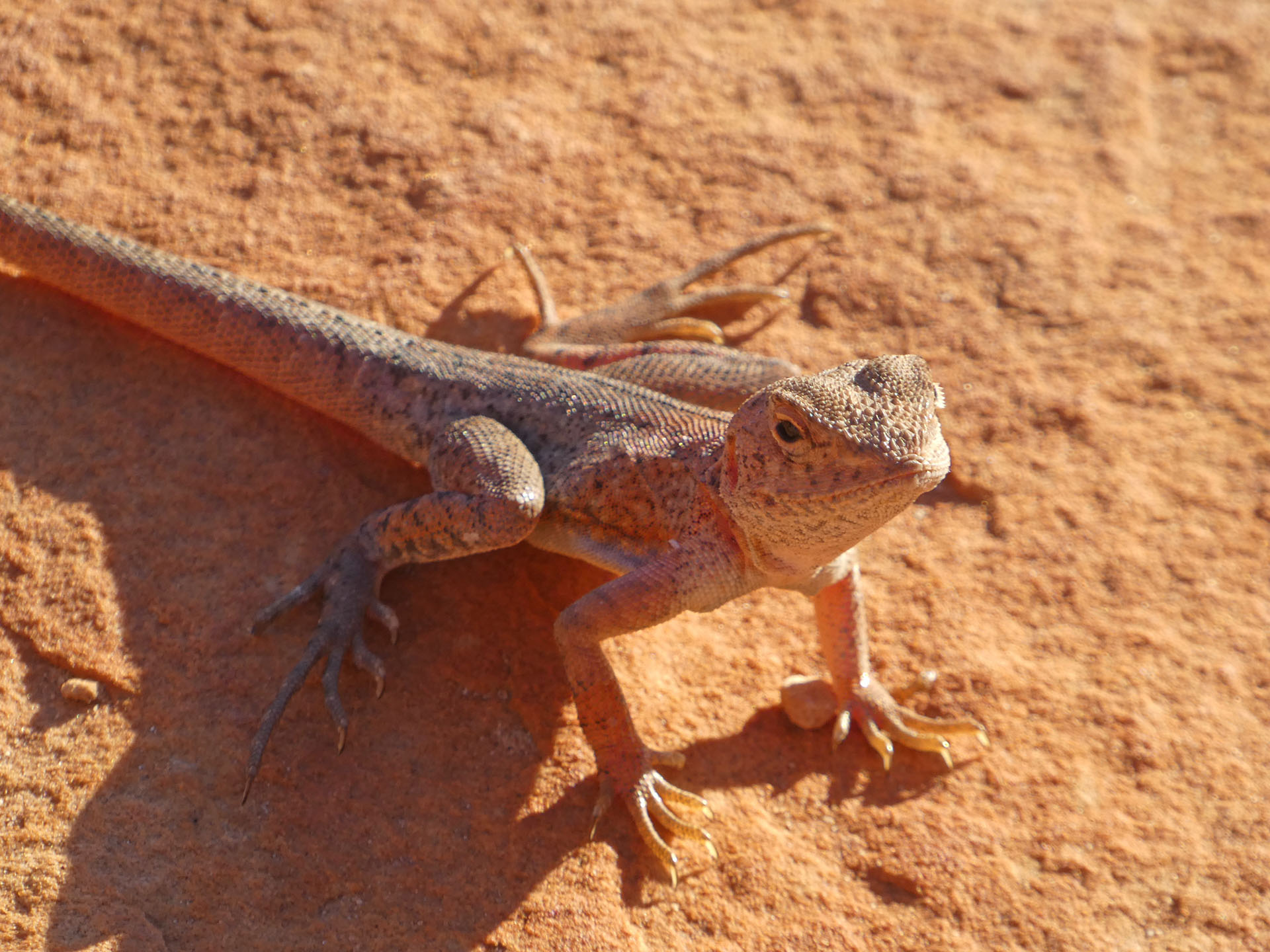
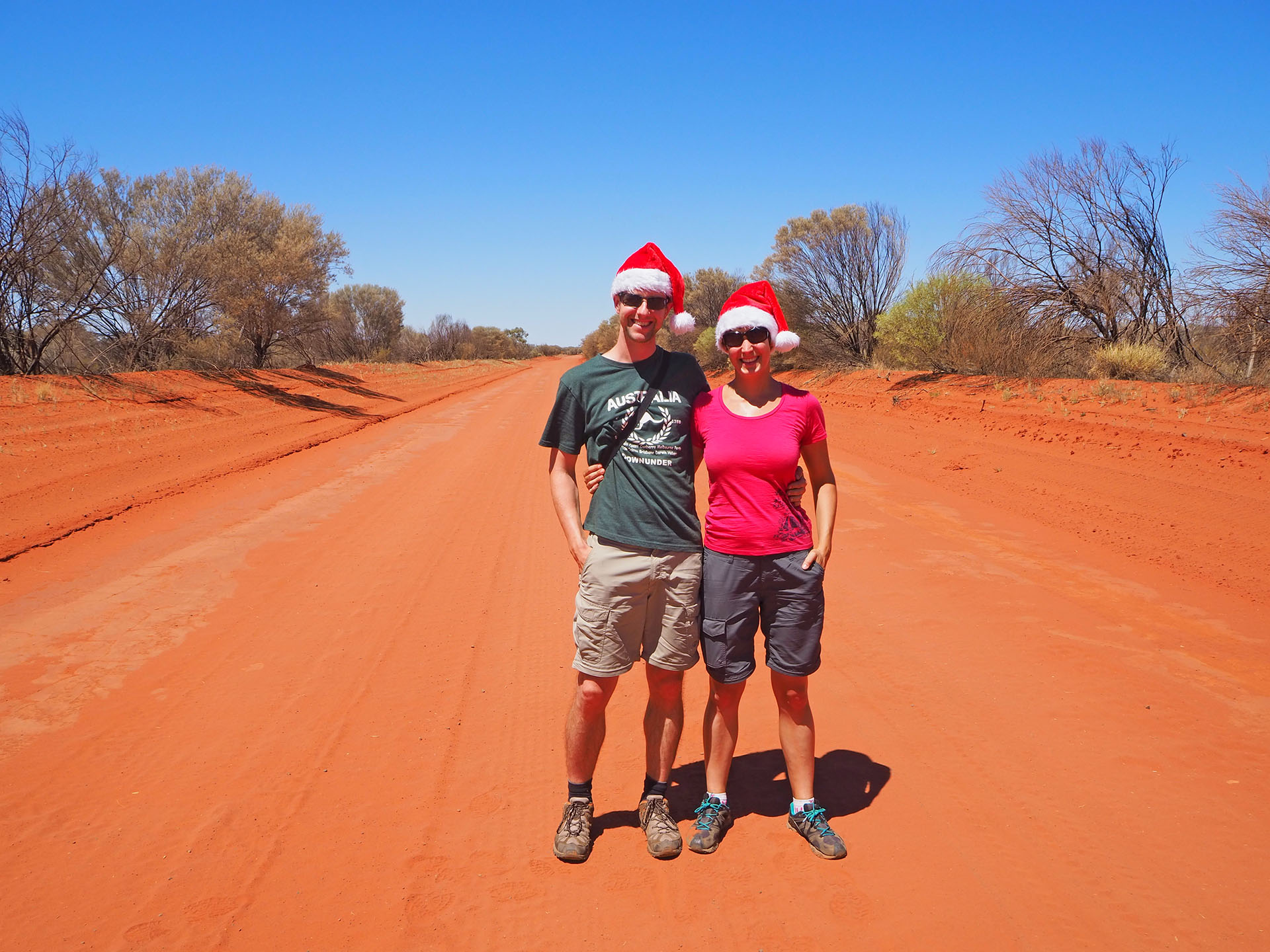
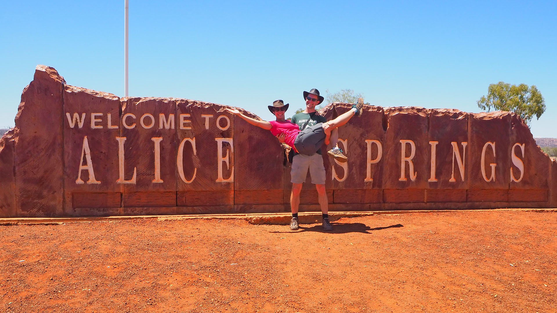
Kings Canyon was a sand dune some million years ago (you can find sea shells)Merry Christmas from the Red Centre!Back in civilisation
That day we definitely left the coast and drove around 500 km into the Pilbara region.
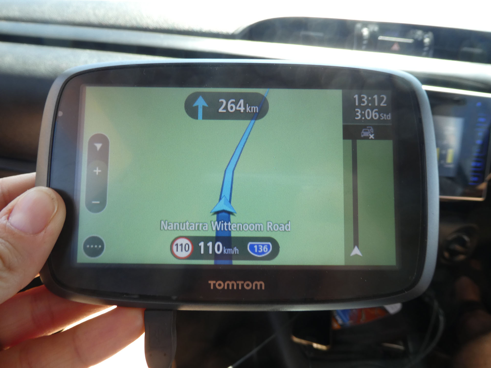
GPS in OZ is for distances, not directions
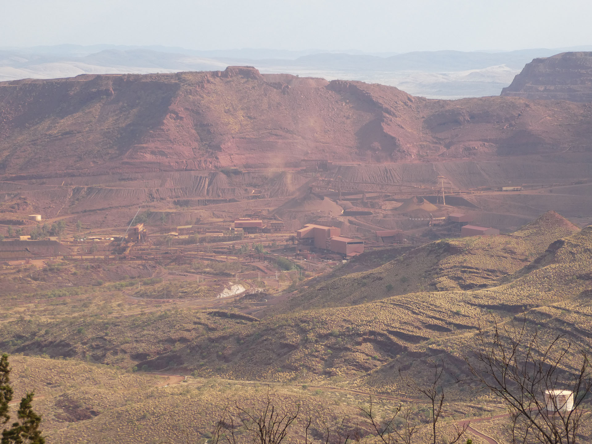
The last 44 km before our destination Tom Price was on unsealed roads. However, that was just a warm-up: we decided to drive upon Mount Nameless (official name!) to get a good sight over the town and region, especially at some mining sites.
View from Mount Nameless
Yes, we read that it’s gonna be a steep way up, but honestly, we underestimated it a bit, we didn’t expect to come across such big holes, rocks and jumps. But we reached the peak (1128 m), the highest vehicle access in Western Australia. Check. But we also reached the highest temperatures so far: 40° C even under a cloudy sky with a few rain drops.
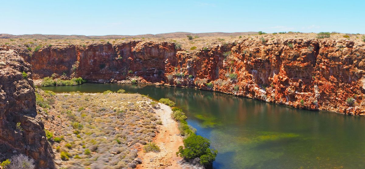
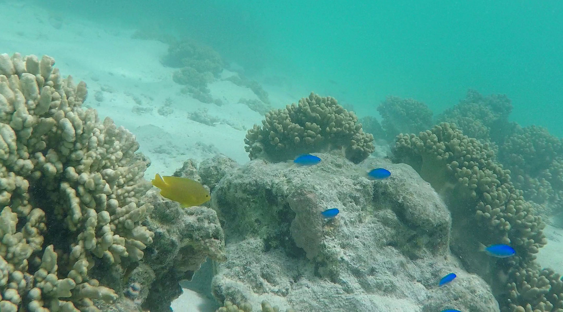
We did short hikes into the Mandu Mandu gorge and Yardie Creek gorge (again, we did a suggested 2-hour, class 4 hike in under about 50 minutes). Sadly, we couldn’t spot any wallabies. To escape the hot temperatures (and the flies) we went snorkeling again, now at the Turquoise Bay where you are encouraged to do “drift snorkeling”: just walk a bit to the south, enter the sea, swim for maybe 20 meters and let the stream flow you over amazing coral reefs.